
La Cañada Flintridge ZIP Coverage
Two ZIP identities matter in La Cañada Flintridge, but they do not carry equal geographic weight. 91011 is the principal street-delivery ZIP for city addresses, including the Foothill corridor and foothill, valley, Flintridge, and San Rafael Hills areas. 91012 is used as a local PO-box mailing identity and should not be drawn as a residential neighborhood. Every address still needs a current USPS check.
A ZIP code directory is most useful when its notes stay attached to the address type. The post office route describes delivery. The assessor describes a situs parcel. The recorder describes a party and legal instrument. Those keys can overlap without becoming the same record.
| ZIP Code | Areas Covered | Post Office | Notes |
|---|---|---|---|
| 91011 | Principal street delivery for La Cañada Flintridge, Foothill, valley, Flintridge, and San Rafael Hills areas | La Canada Flintridge Post Office | Verify each exact address with USPS |
| 91012 | Local PO-box mailing identity used by entities and residents | Associated local PO-box service | Do not map as a residential district |
91011-9998 is the station's ZIP+4 example for the post office. The station at 607 Foothill Boulevard supplies retail service Monday through Saturday and 24-hour PO-box access according to the research. A postal city or ZIP can be used for delivery even when the physical address, municipality, or record custodian differs.
La Cañada Flintridge 91011
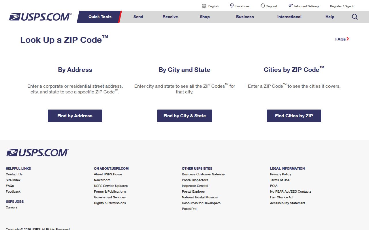
91011 is the ZIP to test first for a La Cañada Flintridge street address. The local station is at 607 Foothill Boulevard, with retail hours listed as Monday through Friday 10:00-5:30 and Saturday 10:00-3:00; PO boxes are available around the clock. Use the USPS ZIP Code lookup to verify an exact delivery address before using ZIP as a search clue.
Postal routing does not enumerate residents. After USPS confirms the address, switch to the assessor for AIN and parcel evidence. If the question is a deed, the recorder's name-and-year index is the next custodian. If the question is a historical household, use a directory or local newspaper. The ZIP narrows geography; it does not create a ZIP-wide resident roll.
That sequence prevents a mailing label from being mistaken for a municipal or household record.
La Cañada Flintridge 91012 Boxes
91012 should be treated as a PO-box identity in this ZIP code directory, not as a second residential map of La Cañada Flintridge. Local entities use it for mailing, and the research does not provide an official public polygon or split date that would justify drawing a neighborhood boundary. A box address can receive correspondence without revealing the physical situs behind it.
When 91012 appears in a record, ask what kind of address it is. A USPS result answers deliverability. A city file may use a mailing address for contact. An assessor parcel uses a physical situs and AIN. A business filing may use a registered office. Preserve the address type when comparing results.
The La Canada Flintridge Post Office location page is the source for the local station and box-service details shown here.
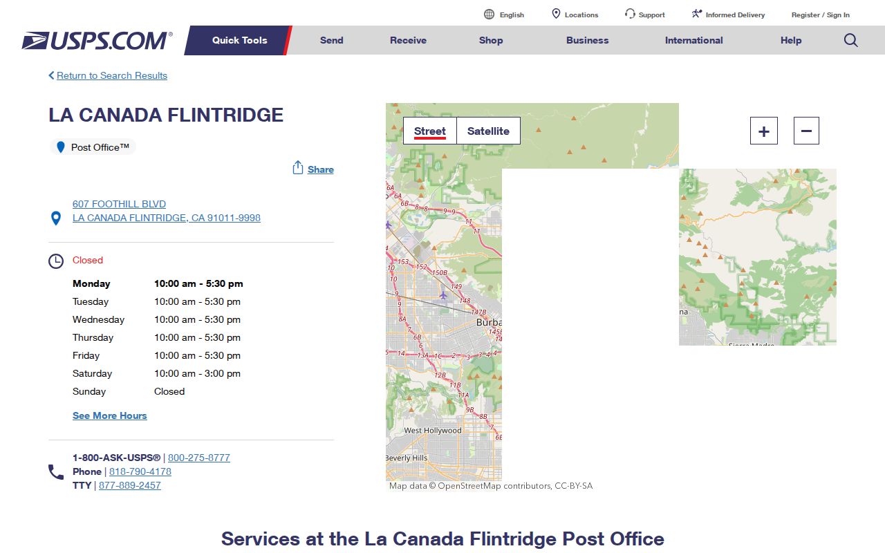
The station confirms the postal channel, while the exact address still needs a USPS lookup.
La Cañada Flintridge JPL Address
NASA's Jet Propulsion Laboratory supplies the clearest local example of ZIP and jurisdiction divergence. Its physical street address is 4800 Oak Grove Drive, La Cañada Flintridge, California 91011. Its mailing address uses Pasadena, California 91109. Both can be correct for different purposes. A postal city therefore cannot prove the city limit, and a mailing ZIP cannot prove where a person lives.
Use physical situs for parcel and planning work, mailing identity for correspondence, and the record custodian's own key for a name or event. The JPL address page supplies the dual physical and mailing examples. This distinction matters for a ZIP code directory because a large institution can generate an address result that has no connection to a residential household.
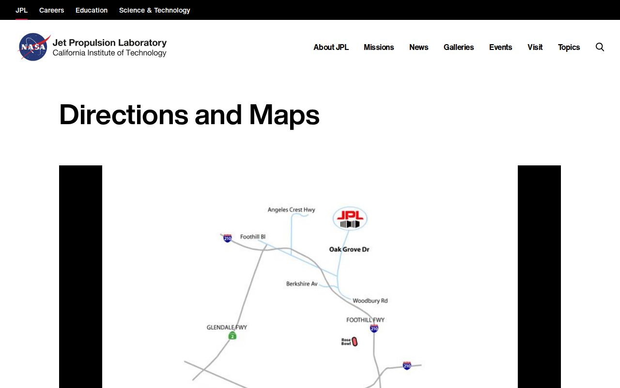
The dual-address example keeps postal city, ZIP, and physical jurisdiction from being collapsed into one label.
La Cañada Flintridge ZIP Directory Search
Finding residents by ZIP code requires two checks because the county assessor portal is address or AIN driven, not a verified ZIP-wide resident filter. Start with USPS to confirm delivery identity. Then use the assessor map to browse the parcels that fall within the address search, or take a known address to the city's planning map. A voter self-check can test one supplied person and house number, but it cannot be used as a personal block or ZIP browse.
- Verify the exact street address and ZIP with USPS, including whether the result is a box or delivery address.
- Search the address or AIN in the assessor portal and save the parcel key.
- Use Map Search or the city's planning map to inspect nearby parcels and planning context.
- Use voter verification only for the supplied identity, birthdate, house number, and ZIP.
- Move from a ZIP to the street-level record chain when an address is known.
Once a ZIP narrows the geography, the La Cañada Flintridge street directory handles the parcel-by-parcel follow-up. ZIP is the first filter, not the final evidence.
La Cañada Flintridge ZIP Search Fields
The research does not verify a live Los Angeles County portal that returns every parcel by ZIP. Its documented assessor controls explain why. A ZIP code directory search should not promise a filter the portal does not expose. Use the controls below, then inspect each address or parcel result.
| Assessor control | ZIP-search implication |
|---|---|
| Search by AIN or Address | Requires a ten-digit AIN or street address, not a public owner name. |
| Basic Search | Returns a parcel from the known address or AIN. |
| Legal Search | Uses legal or tract prompts when a postal label is not enough. |
| Map Search | Lets the researcher inspect polygons after resolving an address. |
| Map Layers | Can show Recent Sales Parcels, with coverage limits. |
A ZIP-wide public resident list is not documented. That absence is a research result. Narrow the search through USPS, AIN, map, and custodian channels rather than treating a ZIP as an ownership key.
La Cañada Flintridge City and ZIP History
La Cañada Flintridge incorporated in 1976 by joining formerly unincorporated La Cañada and Flintridge. Older records may sit at county level and may use separate community names. Search `La Canada`, `La Cañada`, `La Canada-Flintridge`, `La Cañada-Flintridge`, Alta Canyada, and Crescenta-Cañada when a historic address does not match a modern ZIP result.
The city also identifies five Foothill districts: West Gateway, The Link, Old Town, Downtown, and Michigan Hill. These cross-street districts can help explain why a street, ZIP, and city-limit search do not line up. The I-210 opening in 1972 removed homes and civic buildings, so a pre-freeway address may require maps, directories, and county right-of-way records rather than a current ZIP lookup.
La Cañada Flintridge Address Keys
Four keys can appear in one ZIP code directory search. USPS uses delivery identity. The assessor uses situs and AIN. The recorder uses party name, recording year, and legal description. The city uses address, case number, department, and planning or permit records. They are linked by a known address, but their results should not be merged without checking the field that created the link.
- ZIP code
- A postal routing label for delivery geography.
- ZIP+4
- An extended postal code that refines delivery beyond the five-digit ZIP.
- PO-box ZIP
- A postal identity centered on box service rather than a residential polygon.
- Unique ZIP
- A ZIP assigned to one major institution or special destination.
- Carrier route
- A delivery route layer used by postal operations, not a resident list.
ZIP and La Cañada Flintridge Limits
A ZIP boundary is not the La Cañada Flintridge city limit. The research does not provide an official public polygon that resolves every 91011 or 91012 edge, nor a verified date for a split. USPS should answer whether an exact address is deliverable. The city or county map should answer jurisdiction and parcel context. The assessor and recorder should answer property and title questions.
NASA's dual JPL addresses make the point, while the city's 1976 incorporation explains why older county records use different place names. A postal city can be a routing label. A mailing address can differ from situs. A parcel can cross a planning or historical boundary. Verify the exact address and custodian before treating a ZIP result as a local record.
- ZIP versus city
- A postal area can differ from a municipal boundary or record jurisdiction.
- Physical address
- The location where a parcel or institution sits.
- Mailing address
- The destination chosen for correspondence, which may be elsewhere.
- AIN
- The county assessor key that carries parcel facts after an address is resolved.
Boundary check. Confirm delivery with USPS, parcel context with the assessor, and municipal responsibility with La Cañada Flintridge or Los Angeles County.
La Cañada Flintridge Name Variants
Accent and hyphen variants can break a historic ZIP or address search. The city corrected a hyphen inserted by a state clerk, and older records may use La Canada, La Cañada-Flintridge, or separate La Cañada and Flintridge names. OCR can also miss the accent. Search the current form and the historically plausible forms, then confirm the parcel or document rather than relying on text similarity.
The same care applies to street names that predate the freeway, Foothill's earlier Michigan Avenue identity, Alta Canyada, and Crescenta-Cañada. A place-name variant is a discovery aid. It is not proof that two records refer to the same parcel or person.